Tag: Ettina Bhuja

  • Happiness is hiking with friends to The Ettina Bhuja Peak

    Happiness is hiking with friends to The Ettina Bhuja Peak

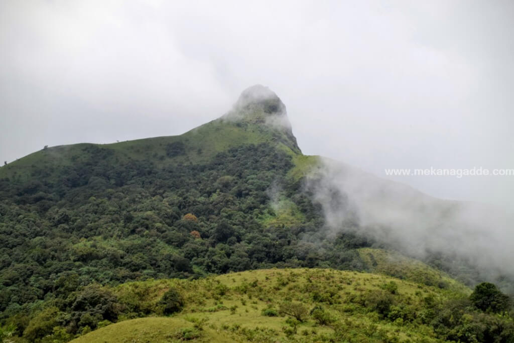
    Ettina Bujha – Ox’s shoulder / Hump.

    An easy trek which any age group can do (except the final climb). Trek distance 2.5 kms / 2300 steps one side. Trek time – 45mins (personal experience). No prior permission required as of now, just parking charges for the vehicle to be paid.

    We reached the base at around 9.30am. Google maps are accurate. Just search for Nanya Byraveshwara temple as said at homestay and drive. The homestay provides guide but we wanted to go ourselves to explore our own. The final 2 kms, the roads are bit bad as it’s a wildlife area, so drive / ride carefully. We parked our two cars, spoke to shop vendor nearby and took some information on the forest area and the peak and started our trek.

    I’ll divide this trek into 3 phase.

    Phase 1 – The wide trail with birds chirping

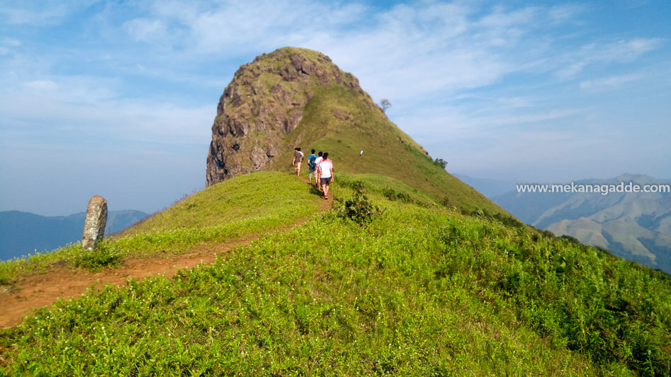
    The trail which starts from the left side of the parking lot which is wide enough to know it. You can hear a lot of birds chirping if started early morning. After a distance of about 1 km, you come to an open land where the peak can be seen even clearer as shown in the picture.

    Ettina Bhuja Clouds
    Ettina Bhuja view on trekking

    Phase 2 – Darker or serene

    This trail is narrow and the trees have grown huge enough to make the path go dark but not completely. You can hear water gushing through the forest too. The good thing about this trek is that there isn’t any other paths which might be confusing to find the correct route. It’s just one single way.

    After walking through little ascend and descend about 1 km you reach a point where you need to turn about 75° to right and that’s where the final stretch starts.

    You have almost completed the trek if you aren’t hiking the last bit of it. This stretch is far more beautiful than the summit. The small flowers with grass all over the place and that huge rock standing tall, energizes everything.

    Phase 3 – Rock climbing

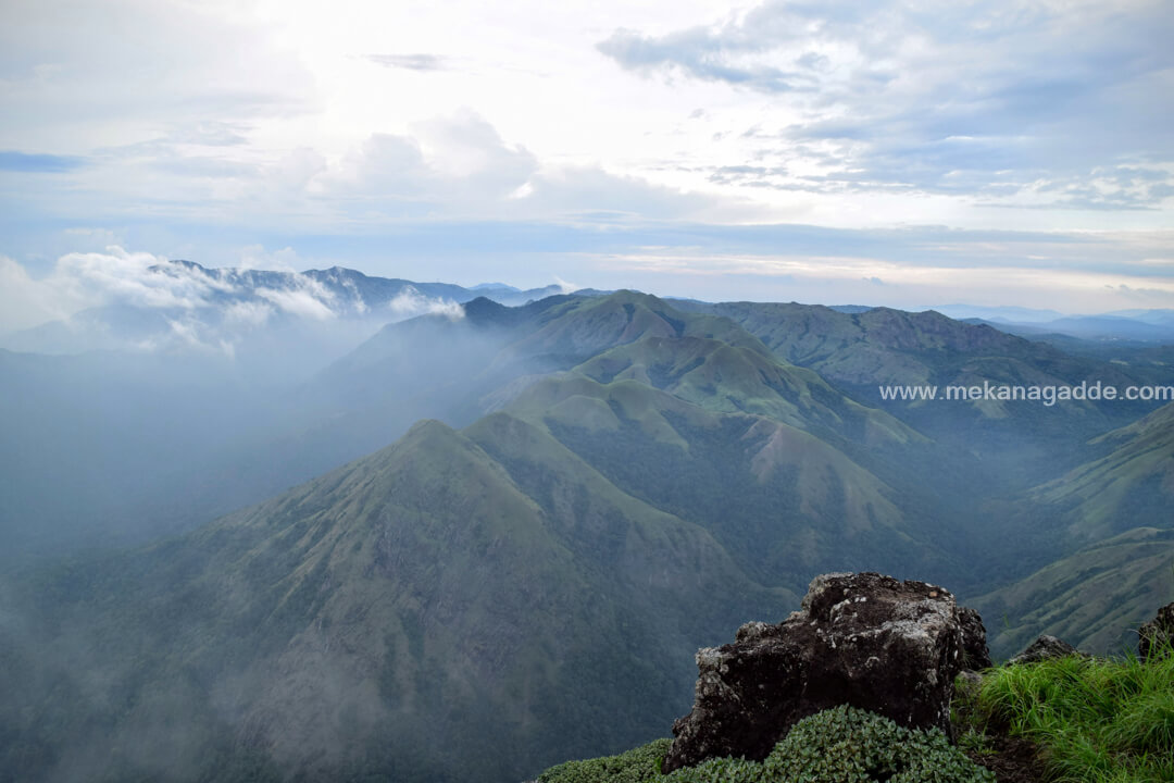
    Good hiking shoes are recommended for final climb. Few boulders are big enough and need proper grip to climb. When you climb the summit, you can see water falling through the mountains at several places, only if the valley is clear from fog.

    Spent about good 45 mins on the peak, emersed into the clouds and the sound of the water and mild sunlight hitting the face whenever the Fog cleared. Thankfully there wasn’t anyone around on the peak.

    Started our descend, took 30 mins to reach the base. That was easy-peasy to get down.

    Now, we had already decided that we can go to Bettada Bhairaveshwara Temple if it doesn’t rain. We were lucky that there wasn’t any indication of rain and we started to our next destination which is 2 kms away from Mekanagadde Homestay and 8.5 kms from Ettina Bujha our current destination.

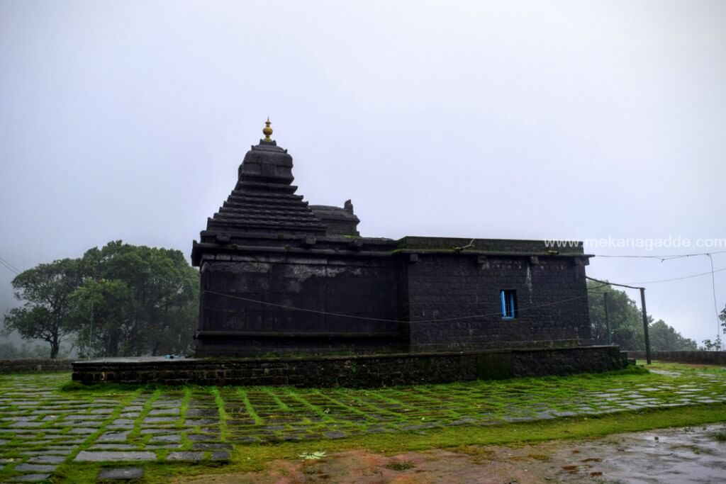
    Bettada Bhairaveshwara Prasanna Temple
    Bettada Bhairaveshwara Temple

    The drive was amazing as the roads were quite narrow and through the forest. And since it’s a village and forest area, the roads leading to Bettada Bhairaveshwara Temple has concrete road from the base and final some 500 meter there isn’t any tar, it’s just gravel so we decided to park our vehicles next to temple. So the path leading to Pandavar Betta is kinda off-roading experience if taking the bike or the jeep.

    Reached the place, a small trek leads to the step 1 of Pandavar Betta and went around strolling a bit and left the place with peace at mind. One can go to next step if there is no dense fog around

    We could see a wild boar while we were heading back to homestay. Wasn’t quick enough to capture a picture of it.

    Overall, our trip from Saturday to Monday was good. Thankful to the hospitality provided at Mekanagadde Chikmagalur homestay. This place is amazing for its location in the midest of village and surrounding forests. This is the best homestay to experience trekking to Ettina Bhuja and looking for a comfortable and relaxed stay.

    Hoping to spend as many days I can on the mountains.

    Stay safe travel safe.

    Uday Shankar
    Guest Blogger
  • Extreme Trekking Tracks in Sakleshpur

    Extreme Trekking Tracks in Sakleshpur

    These below tracks were once a favorite trekking paths for people who wanted extreme trekking. Now a days these treks have become extremely difficult because of the forest animals and strict regulations of forest departments.

    These tracks have lost its glory because of these reasons

    1. There is no proper support from tourism department.
    2. Lack of interest and communication between officers of Forest Department and Tourism Department.
    3. No allocation of infrastructure for the development of tourism in Malnad regions.
    4. No guidance and training given to younger generations.
    5. Deforestation leading to weather changes and ecotourism is a dream.
    6. These days tourists need smaller treks just for weekend getaway.

    The above points are solely my thoughts and below trekking information is what it was done before.

    Ombattu Gudda Trekking

    This trekking spot lies in the border of Hassan and Chikmagalur. It is a hill range in the Shiradi Ghats. Ombattu means nine and Gudda means Hill in Kannada, is said to be one of the mysterious and challenging treks of Western Ghats. Situated 971 meters above sea level in Kabbinahalli Reserve Forest range, Ombattu Gudda is easily accessible from Hosakere in Mudigere Taluk and Gundya in Shiradi Ghats. The usual starting point for this trek is in Gundya check post (NH48 / Mangaluru / Mangalore highway). From there head towards a waterfalls and climb up Ombattu Gudda and get down at Hosakere completing your trek. During monsoons this trekking spot can get too risky as one has to cross many streams and rivers on the way.

    Bisle Ghat Trekking

    As a trekker one must be ready to face any challenge which comes on the way. Bisle Ghat, an adventurous trekking spot between Kukke Subrahmanya and Sakleshpur is a part of the Western Ghats which is located in the border of Hassan district and Dakshin Kannada district. This spot will throw you a mesmerizing view of the three mountain ranges – Jenukallu Betta (Hassan district), Doddabetta and Pushpagiri (Kodagu district) and Kumaraparvatha (Dakshina Kannada district) while on the other hand it will let you experience the most thrilling trek ever. This 24 km stretch passes through a reserve forest where you can see and enjoy many waterfalls especially during the rainy season. Apart from the wide variety of flora and fauna, this thick forest is home to many wild animals like king cobras, tigers, sambar deer, peacocks, numerous species of birds, spotted deer, brown fox and elephants too.

    Murkannu Gudda and Hadlu Waterfalls Trek

    If you are a trek freak then this place is surely going to make you excited. Located almost 3500 ft above sea level from the campground, Murkan Gudda is just next to a stream and a lake. This stream is a recurrent which keeps flowing throughout the year. During the trek you will find waterfalls, forest, plantations and beautiful lake amidst the valleys. Take the route onto Uddenamaradavaare and continue your trek through Saalu Gudda and Kallu Gudda. Here you will get a panoramic view of the Western Ghats and the mesmerizing Kaadumane tea estate. On the way the view of Amedhikallu, Jenukallu Gudda and Ettina Bhuja, which resembles the hump of an ox are a sheer view to the eyes. This famous 8 kms guided trek takes around 5 hours which also picturize the rich biodiversity of Sakleshpur.

    Note: We don’t conduct these treks for the reason: forest permissions and risk of forest animals. But yes we do conduct short treks.

  • Devaramane Trekking and Haarlu Flowers

    Devaramane Trekking and Haarlu Flowers

    Denaramane belongs to the Mudigere Taluk in Chikmagalur. It covers the vast area between Shiradi and Charmadi Ghat. Devaramane Hills is located in Gutti village brings you close to the nature and its an exhilarating experience. Travellers can climbs the peaks, walks across the grasslands, crosses gurgling streams, and views magnificent waterfalls. The area is lush green even in summers.

    Devaramane offers a number of variations that makes it an ideal Trekking spot for both beginners and hardcore trekkers. There are number of hillocks to climb, the Ettina Bhuja – Bulls Hump-back, also known as Shishila Gudda, towers over the rest of the peaks in the area. From a height of 3000 ft, the roar of the river flowing beneath can be heard. The famous Kapila fishing camp is located nearly 15+ km from Devaramane.

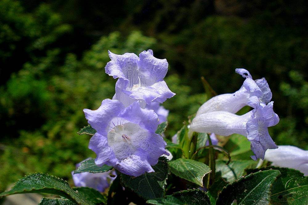
    Kurinji Flower Western Ghats

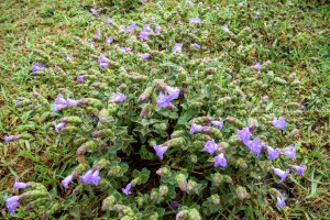
    The place where these unique purple flowers, called Haarlu, blossom once every 12 years. “Haarlu is quite similar to the Kurunji flowers that grow in the Himalayas. These flowers almost gives the entire hill a carpeted look.

    How to Reach: Bangalore – Mekanagadde – Gutti village – Devaramane

    Daily, buses play between Bangalore and Mudigere, board a bus and hit the national highway. There are local buses available for Gutti village from Mudigere. One can also catch a local transport to reach Devaramane.

    Exact Location: Western Ghats. Its located near Gutti Village in Karnataka.

    District: Chikmagalur

    Nearest Town: Mudigere

    Distance from Bangalore: 258 kms.

    Best Time to Visit: Early Winters.

    Nearest Homestay: Mekanagadde Homestay

    Devaramane Lake: Devaramane Lake is located close to Devarmane. Its a beautiful tranquil lake, considered to be an ideal spot for pitching a camp.

    Mudigere: About 3200 above sea level, Mudigere is 25 km from Devaramane and is a Panchayat town of Chikkamagaluru. Its surrounded by coffee plantations.